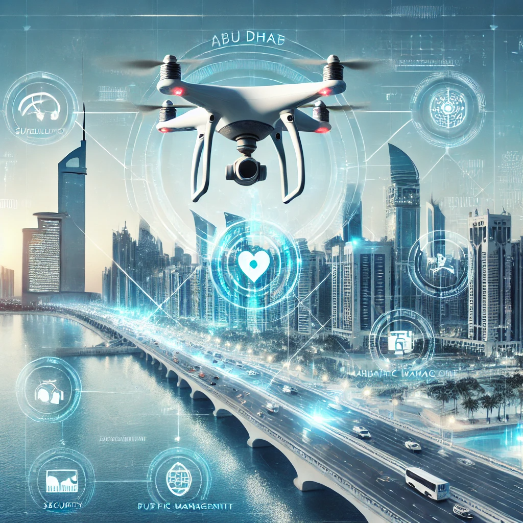
Drone Technology Data Collaboration for Public Safety
Description:
This opportunity involves collaboration with drone technology firms and security companies to improve public safety by using drones for surveillance, traffic management, and emergency response.
Objectives:
• Enhance public safety and emergency response capabilities.
• Improve traffic monitoring and reduce congestion.
• Support innovation in drone technology applications.
Socio-Economic Impact:
• Government: Improved public safety, faster emergency response, and better traffic management.
• Private Sector: Access to a new market for drone technology applications, opportunities for innovation, and enhanced brand credibility.
Potential Datasets:
• Drone surveillance data from private security companies.
• Environmental data impacting drone operations (e.g., weather conditions).
• Data from traffic monitoring systems, such as vehicle counts, congestion levels, and traffic flow rates.
• Data on network availability and connectivity strength to support reliable drone operations.
Potential Stakeholders:
Drone Technology Firms, Security Companies, and Technology and Innovation Labs
Code: Social Protection & Wellbeing
Sustainable Development Goals (SDG):
International Best Practices:
In the UK, police departments use drones to monitor public safety, manage traffic, and respond to emergencies, leading to faster response times and improved safety outcomes.
How to get involved?
D4G Alliance initiative facilitates win-win collaboration between relevant stakeholders where privately held data are utilized to produce actionable insights for the public interest in the Emirates of Abu Dhabi.
Partner With Us !